Problem
Every morning during the 2025 monsoon, Bina Tamang checked a rain gauge in Kimtang, a village in Nepal’s Nuwakot district. Tamang, a 29-year-old primary school teacher, photographed the water level and sent the pictures to experts in Kathmandu, a five-hour drive away.
“The villagers here have lived in fear,” she told the news agency AFP in August 2025. “But I am hopeful that this new early warning system will help save lives”.
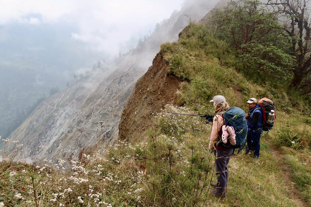
Tamang’s own family moved about a kilometer uphill when she was five, and the 2015 earthquake left that area more unstable.
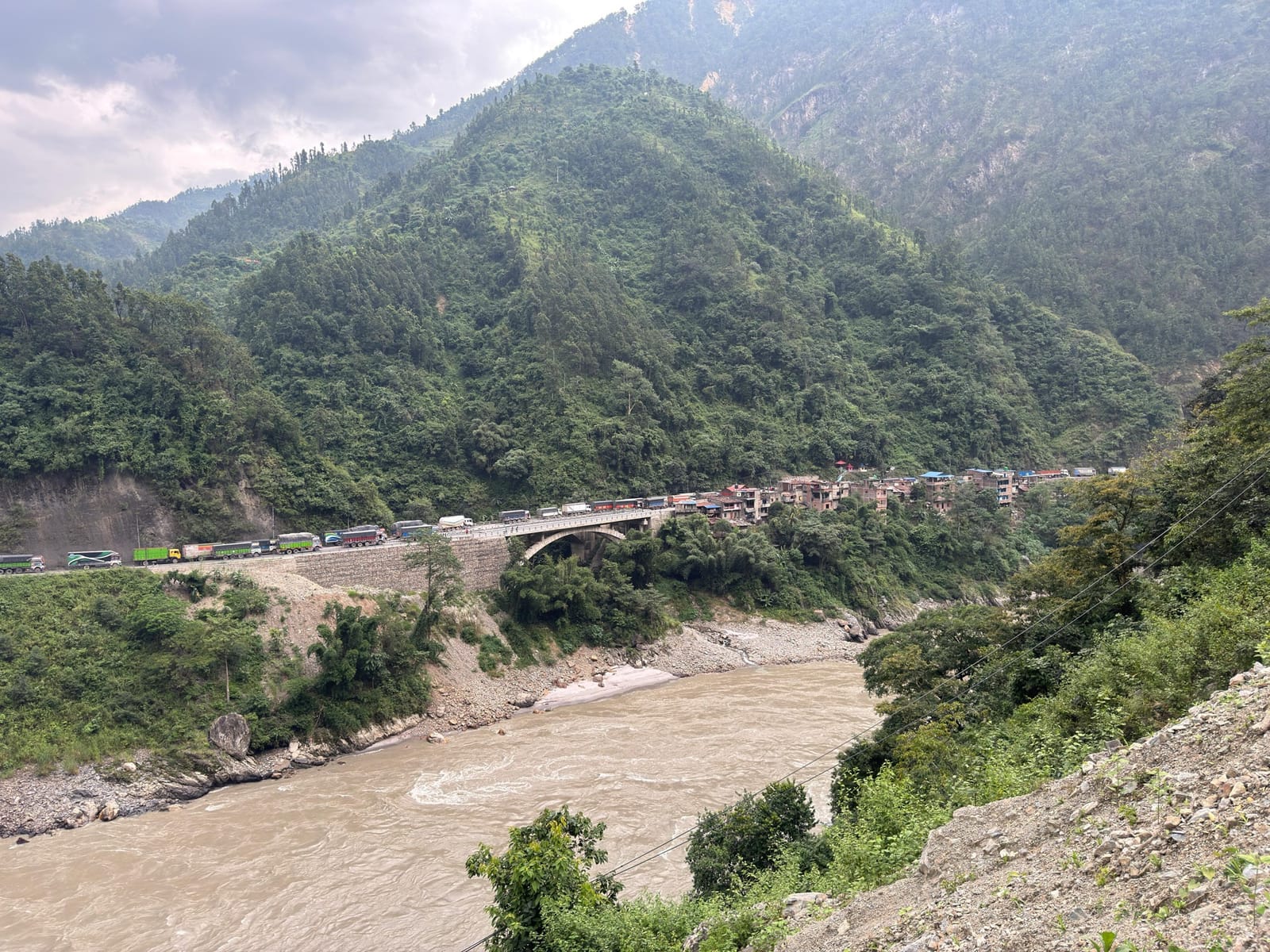
The project team says more than 80 percent of Nepal’s land lies on a slope, and the 2015 Gorkha earthquake set off about 45,000 landslides and left much of the land unstable. Government data cited by AFP show that landslides killed more than 300 people in Nepal in 2024 and caused 70 percent of that year’s monsoon-related deaths.
Nepal has put 200 sirens along its major rivers over the last decade. Binod Parajuli, a flood expert at the government’s hydrology department, told AFP the same has not been possible for landslides “because predicting them is much more complicated”.
AI solution
The system is called SAFE-RISCCS, short for Spatiotemporal Analytics, Forecasting and Estimation of Risks from Climate Change Systems. The University of Melbourne developed the platform in 2018 and later added an AI tool meant to forecast landslide risk “days or even weeks in advance”.
It combines rain data with ground-motion data, which show how much the land is shifting. Those readings come from instruments on the ground, on aircraft and on satellites, including images from the European Space Agency, NASA and the Japan Aerospace Exploration Agency. “Ground motion holds clues to when a slope is about to slide,” Antoinette Tordesillas, the mathematician who leads the project, said in a 2024 university release.
The team builds what scientists already know about how wet, loose ground fails into the AI itself. “We use our knowledge of the physics of [slope] failure to guide AI,” Tordesillas told BBC Future in March 2026.
In Kimtang, the AI worked through radar images from Sentinel-1, a European satellite, up to January 2025. The result was a map with a large area of unstable ground, marked in bright red, right beneath the village. In the village itself, cracked steps, tilting trees and cracked walls are visible.
Tordesillas told the BBC that the villagers had been moved to this site in 2019, after a landslide near their farmland, and that it is “the most unstable part in this whole region”.

The warning side of the project runs on simpler data for now. The 2025 field pilot covered two high-risk areas: Kimtang in Nuwakot and Jyotinagar in Dhading district. In Kimtang, Tamang read a rain gauge, and technical advisers in Kathmandu compared the readings with a landslide threshold. Sanjaya Devkota, a technical adviser, explained to AFP what comes next: “We are still in a preliminary stage, but once we have a long dataset, the AI component will automatically generate a graphical view and alert us based on the rainfall forecast”.
The plan is for SAFE-RISCCS to be rolled out with Nepal’s National Disaster Risk Reduction and Management Authority, as part of a new Landslide Early Warning System being developed in Nepal.
Impact
The results of this pilot are early. The clearest output so far is the Kimtang map. According to the BBC, Tordesillas has shared the analysis with government officials. She sees it as a way to tell villagers about the risk, plan evacuation routes and meeting points, and decide where to watch the ground more closely. The village high school, the map shows, sits on one of the most stable spots. The BBC reported no landslide in Kimtang between January 2025 and its March 2026 article. These findings come from the researcher’s own account, and we found no independent check of them.
The alert system was not yet running in 2025. By August 1 that year, the pilot had two months of rain data, and an adviser said the team would need one to two years for proper forecasting. The OECD’s AI incidents monitor noted the same month that the system had not yet generated warnings. We found no report of an alert, an evacuation or lives saved.
The university’s project page says the system works with “unprecedented accuracy” but gives no figures, and we found no published test of the Nepal pilot.
David Petley, a landslide researcher at the University of Hull who is not involved in the project, told SciDev.Net in 2024 that satellite tools are a major opportunity. He also warned that short bursts of local rain, which often trigger landslides, can make real-time prediction hard. “All early warning systems also suffer problems with communicating the information to the right people at the right time and to get them to respond appropriately,” he said.
People
Antoinette Tordesillas leads a team of scientists from the Universities of Melbourne, Tribhuvan in Nepal, Florence and Cambridge, working with the Government of Nepal and Australia’s Department of Foreign Affairs and Trade. Emanuele Intrieri of the University of Florence is among the named partners.
In Nepal, Basanta Adhikari, director of Tribhuvan University’s Centre for Disaster Studies, is the project’s Nepali university partner. “If the system performs well during this monsoon season, we can be confident that it will work in Nepal as well, despite the country’s complex Himalayan terrain,” he told AFP in 2025.
Tordesillas has visited Nepal and talked with villagers. Of Kimtang’s residents, she said: “Their village, where they live and farm, [is] actually on the slope”. She calls the project “a low-cost but high-impact solution, one that’s both scientifically informed and locally owned”. The pilot has not yet shown that impact.
Tamang is part of that local side. In the 2025 monsoon, her morning photos of a rain gauge helped build the long record of rainfall that the AI part needs before it can send alerts.
Why it matters
In 2024, landslides caused most of the deaths in Nepal’s monsoon, and unlike river floods they have no siren network. The pilot is testing whether satellite AI, together with a village teacher’s daily rain readings, can change that. It has issued no warning yet, but the Kimtang map already gives scientists and officials a clearer view of the ground under the village.
What we could not confirm (9)
- Whether any real alert has been issued since 2025, or whether the AI forecast has been tested against actual landslides.
- Whether the pilot continued or expanded during the 2026 monsoon. The university’s project page was last updated on May 25, 2026.
- Any accuracy or validation figures. The university claims “unprecedented accuracy” but publishes no numbers, and we found no peer-reviewed study of the Nepal pilot.
- Whether the AI tool is open access. A 2024 university release called it “a new open-access artificial intelligence tool”, while SciDev.Net reported in June 2024 that it was “currently not available for open access distribution.”
- How the Kimtang map was checked. Its findings come from the project lead’s account to the BBC.
- How landslide deaths compare across years. Figures differ by source and period: AFP cites government data of more than 300 deaths in 2024, while SciDev.Net cited national data of 48 deaths in 513 landslides between June 2023 and June 2024. The definitions may differ, so we do not compare them.
- Whether Tamang and other rain-gauge readers are volunteers or paid, and who will keep the local rain-gauge network running after the research phase. Funding amounts are also not public.
- Whether the Kimtang villagers have been told about the map or involved in ground monitoring. The BBC reports it was shared with government officials and describes informing villagers as a next step.
- What the UCA News documentary on the project (August 5, 2025) shows. We could not access it.
FAQs (5)
What is SAFE-RISCCS?
A landslide forecasting system led by the University of Melbourne with Tribhuvan University and other partners. It uses AI guided by the physics of slope failure to analyze rain and ground-motion data from satellites, aircraft and ground instruments.
Where is it being tested in Nepal?
In two villages: Kimtang in Nuwakot district and Jyotinagar in Dhading district. A field pilot with village rain gauges began collecting data in mid-2025.
Has the AI warned anyone of a landslide yet?
Not as far as public sources show. In August 2025 the alert function was still being built and needed one to two years of data. The main output so far is a map of unstable ground under Kimtang, shared with government officials.
How do villagers help?
In Kimtang, a local teacher read a rain gauge every morning during the 2025 monsoon and sent photos of the level to technical advisers in Kathmandu, who compare it with a landslide threshold. The team says it needs a long record of such data before the AI part can issue alerts based on rainfall forecasts.
Is the tool free to use?
Sources disagree on whether it is open access, so we cannot say.
Sources (6)
AFP, "Landslide-prone Nepal tests AI-powered warning system," via The Star, 2025-08-01
Neena Bhandari, "AI forecasting deployed to predict Nepal landslides," SciDev.Net, 2024-06-07
Chris Baraniuk, "Ground truth: When the Earth moves, AI can spot it," BBC Future, 2026-03-24
Fact-checked against sources on November 7, 2026. Spot an error? Tell us.
This story supports