Problem
Most people who open Pl@ntNet just want to know what they are looking at. Its coordinators say people often photograph the plants they like or find useful. Flowers come first, especially in spring and early summer. “Flowers attract interest and trigger observation,” they told The Conversation in March 2026. Fruits and berries come up a lot too, probably because people want to know if they can eat them.
Science has a different question: which plants grow where, and how is that changing? Surveys need trained botanists, and there are too few. Pl@ntNet calls this a “taxonomic bottleneck”, and it weighs most in tropical forests, where several hundred plant species can grow in a small area. Tropical, mountain and other under-sampled regions remain poorly covered by traditional inventories.
Pl@ntNet tries to answer both at once, because a curious person’s photo can also be a dated, mapped record of a plant.
AI solution
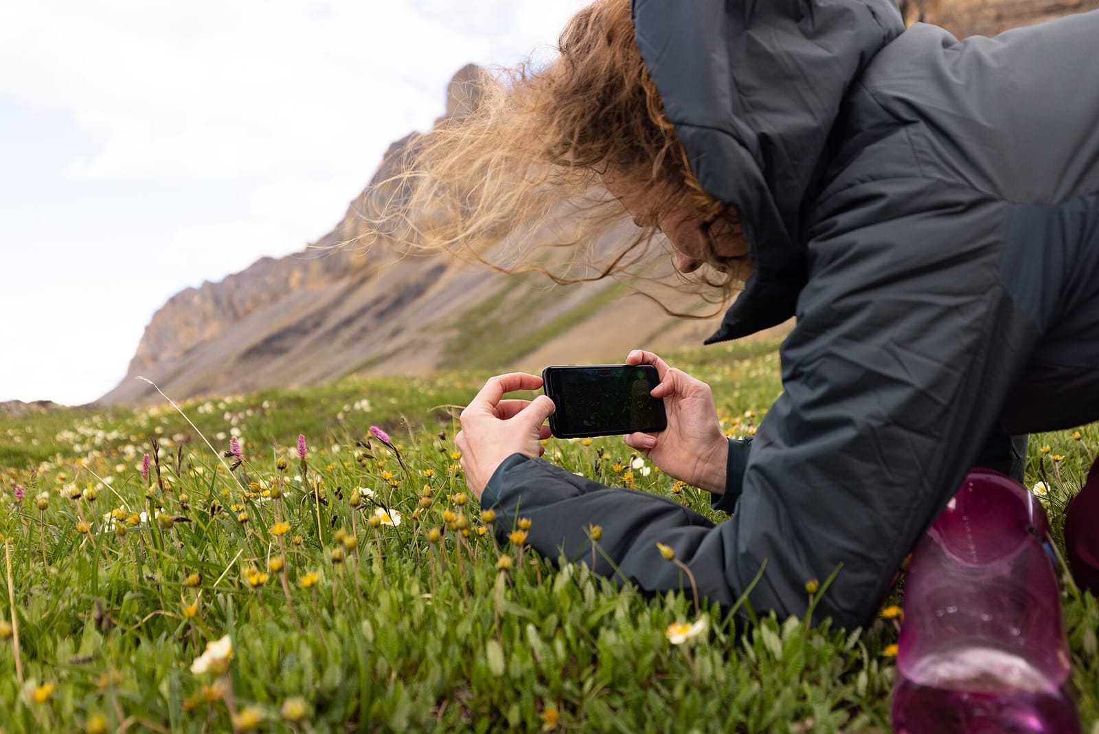
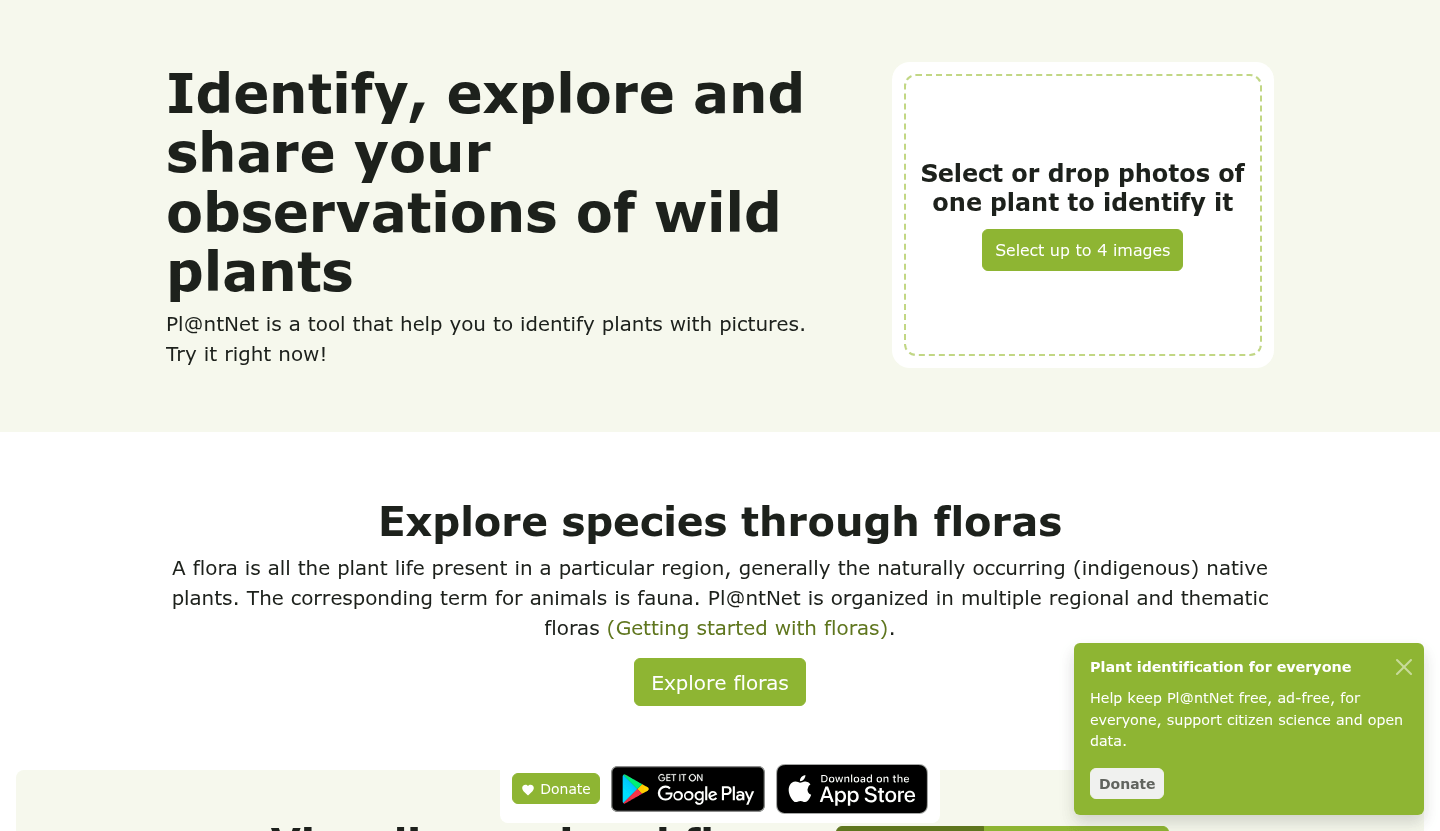
You take a photo of a plant with the app or on the website. A flower works best, but a leaf, fruit or bark also helps, and you can add several. A computer vision model then suggests the most likely species. It learned much the way you learn to recognize a friend’s face, by seeing many examples, in this case plant photos labeled with their species.
When a species is rare in its training photos, the model struggles to tell “rare” from “unknown”. The coordinators say: “We therefore seek to quantify the uncertainty, rather than decide when the model is uncertain or not.” So the app sometimes shows several possible species instead of one confident answer.
Volunteer validators flag and correct identification errors in shared observations. Their feedback has led to warning messages for some species and to answers at the genus or family level when a precise name is not safe.
Since 2020 Pl@ntNet has sent its most reliable observations to GBIF, an international open database of where species have been recorded: records the community has validated, plus automatic identifications with very high confidence scores.
How it works
- 01 Photograph Anyone takes one to four photos of a plant with the app or website.
- 02 Identify A computer vision model suggests the most likely species, or several when it is unsure.
- 03 Share Volunteers check the answers, and the most reliable records go into the open GBIF database.
Impact
On 2026-10-28, Pl@ntNet’s homepage counted 84,710 species, 1,475,342,717 images and 77 regional floras. In March 2026 the coordinators said the service had answered just over 1.3 billion identification requests, and that more than 20,000 accounts had built it into their own apps or data workflows. These are the project’s own figures, and they count images and requests, not people. Pl@ntNet describes its community as “several million users”.
An outside count comes from GBIF. On 2026-10-28 it listed 14,734,986 records published by Pl@ntNet, and 1,781 papers and other literature items citing those data. In January 2026, a study in the journal Nature Communications (Lusk and colleagues) combined citizen science records, including Pl@ntNet’s, with expert databases to map plant traits such as leaf size, wood density and seed mass. According to Pl@ntNet’s summary, the study found these records help fill gaps in tropical, mountain and under-sampled regions.
In Brittany, in northwest France, the regional plant health organization FREDON Bretagne tracks invasive plants that can harm health, including common ragweed, giant hogweed, jimsonweed and American pokeweed. In 2023 it recorded 40 new common ragweed sites, 2 giant hogweed, 12 jimsonweed and 21 American pokeweed. After Pl@ntNet gave its teams access to data in 2024, reports rose sharply, and FREDON built AlertEspèce, a tool that lets people report these plants from a smartphone. That account comes from Pl@ntNet, and no later count is published. In the south, the air quality body Atmo Occitanie tracks 22 allergy-causing plants and plant groups, and its “Flowering Observatory” asks people to photograph them in bloom. The observations help its daily pollen forecasts and regional pollen map.
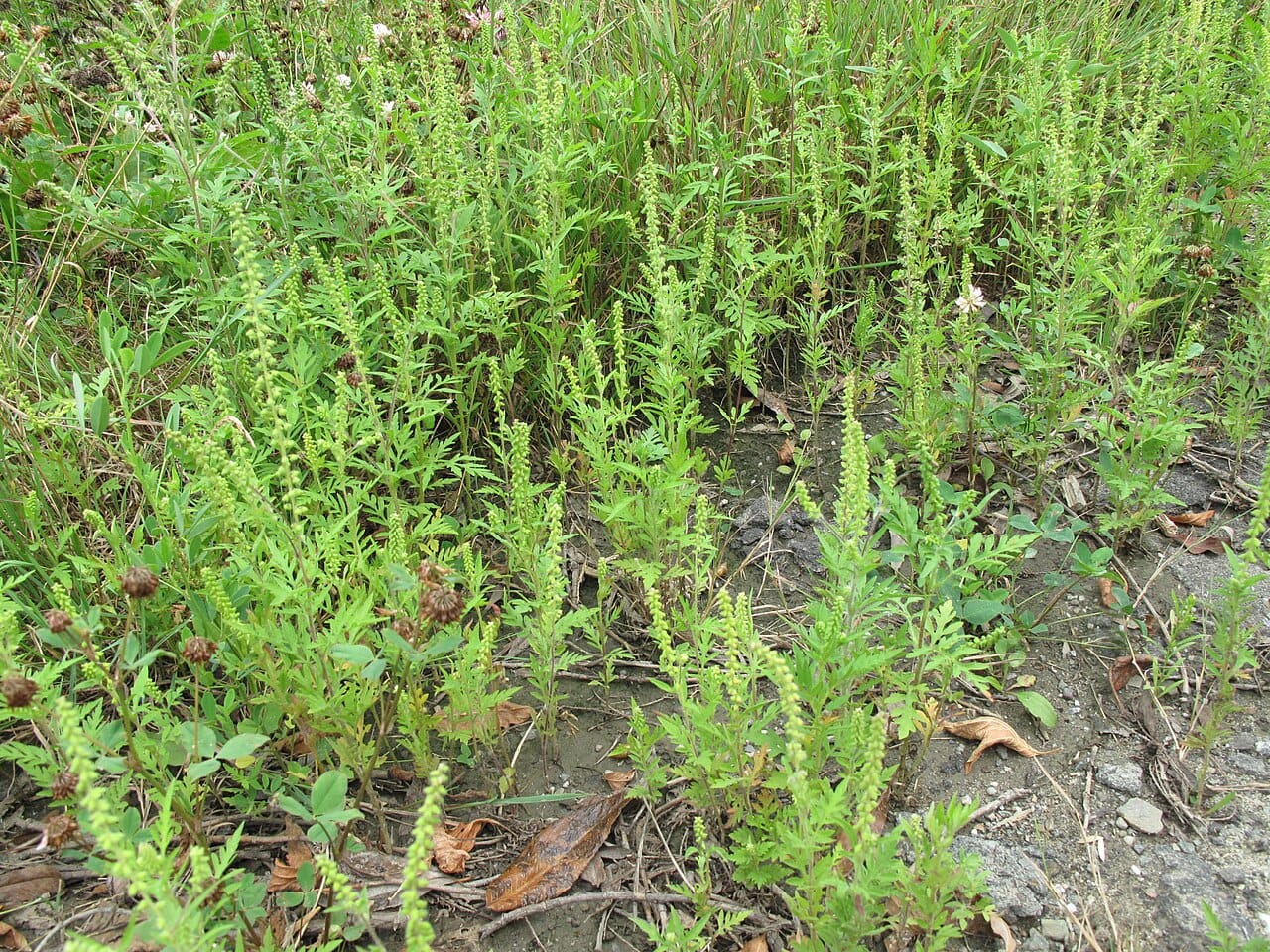
The data have clear limits. The coordinators say the app covers almost 100% of European flora but only a few tens of percent in tropical countries, and 85,000 of an estimated 400,000 plant species worldwide. Brazil ranks eighth for users, with just over 600,000 a year, but most activity is still in Europe and North America. In the tropics, poor roads, weak mobile signal in forested mountains and trees tens of meters tall make plants harder to photograph.
People
Pl@ntNet started in 2010. It is run by four French public research bodies: the French Agricultural Research Centre for International Development (CIRAD), the National Research Institute for Agriculture, Food and Environment (INRAE), Inria, the national institute for digital science, and the French National Research Institute for Sustainable Development (IRD). It is based at CIRAD in Montpellier. The coordinators are Pierre Bonnet of CIRAD and computer scientist Alexis Joly of Inria.
The team is small. In its October 2026 donation appeal, Pl@ntNet said two people are paid full-time to maintain and develop the platform, and servers take about a quarter of its costs. It asks users for donations to keep the apps free, independent and ad-free. “We firmly believe that understanding the living world is essential to protecting it,” the team wrote.
In February 2026 Pl@ntNet added a diseases and pests feature, which covers more than 2,000 diseases on nearly 100 plant species, and over the year it added 8,000 species. Partners in Costa Rica, Guyana, Brazil, Cameroon, Madagascar and Malaysia are helping to widen tropical coverage.
None of our sources names a single volunteer or contributor. Yet Pl@ntNet’s research post, echoing the Nature Communications paper, says such science relies both on open data infrastructure and on the communities of contributors who feed it.
Why it matters
Pl@ntNet is public-interest AI that works at scale: free, without ads, with open data and with people checking the machine’s answers. A photo taken out of curiosity on a walk can end up in a dataset that a scientist on another continent uses to map plant life. Its weakest coverage is in the tropics, which is where more photos would help science most.
What we could not confirm (4)
- How many people use Pl@ntNet in total. The project says “several million users”; we found no exact, dated figure.
- How much of the January 2026 Nature Communications study relies on Pl@ntNet data specifically.
- How many invasive plant reports FREDON Bretagne received after 2024, beyond “rose sharply”.
- Any independent measure of how accurate the identifications are.
FAQs (4)
What is Pl@ntNet?
A free, ad-free app and website that suggests the name of a plant from your photos. It is run by four French public research institutes and covers 84,710 species, according to its homepage on 2026-10-28.
How does Pl@ntNet help science?
Since 2020 it has shared its most reliable observations with GBIF, an open global database. GBIF lists nearly 15 million Pl@ntNet records and 1,781 literature items citing them. Researchers use the records to map where plants grow, track invasive species and study pollen allergies.
Is Pl@ntNet always right?
No. When the model is unsure it can show several possible species, and volunteers flag and correct errors. We found no independent accuracy figure.
Does it work outside Europe?
Yes, but unevenly. It covers almost all European flora and only a few tens of percent of tropical floras, and partners in six tropical countries are helping to close the gap.
Sources (7)
Pl@ntNet, In 2026, what role do Pl@ntNet data play in scientific research?, May 28, 2026
Pl@ntNet homepage, counters read on October 28, 2026
GBIF, Pl@ntNet publisher record, occurrence and literature counts, October 28, 2026
Gabrielle Maréchaux, interview with Pierre Bonnet and Alexis Joly, The Conversation, March 31, 2026
Pl@ntNet, Donation campaign 2026, October 2, 2026
Fact-checked against sources on October 28, 2026. Spot an error? Tell us.
This story supports